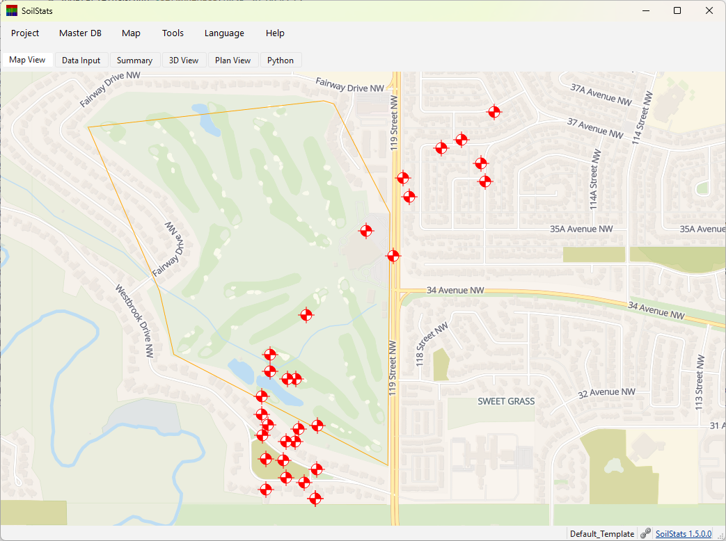
Site-Based Project Mapping with SoilStats
SoilStats goes beyond managing borehole data—it can also map and organize general projects that have no drilling information. Any mapped project can be linked to its corresponding folders and files, allowing users to quickly locate project documents simply by selecting the site on the map.
Whether you are working with borehole projects or general site‑based projects, a local or cloud‑based Master Database is required. Users can create and configure this database through Master DB → Database Setup. Data tables and structures can then be customized under Master DB → Table Configuration.
Once the Master Database is ready, the video below demonstrates how easily a map location can be linked to an existing folder. Internet‑based folders or files can also be attached to specific locations using the same workflow.